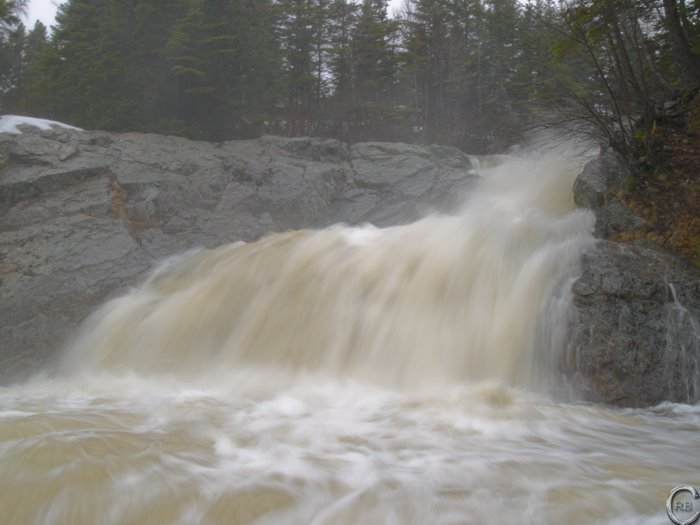
Wood Warning
There are three safety items on Northwest River that I would like to highlight to the general paddling community.
- Wood - there is a tree that completely blocks the river right channel of the rapid called Flushbox. This is the second rapid in the first canyon. It is noticeable from an upstream eddy, but still represents a siginificant hazard. It is wedged across two boulders and will probably remain in place until the river floods this spring. It is easiest to portage this rapid on the river left shore. There is also a runnable river left channel, but it involves cutting across the top of a sieve.
- Also, there are a large number of fallen trees along the banks of the canyon. This is likely the result of flood stage river levels a few years ago. However, until future floods clean the canyon out it is prudent to be extra observant for wood in the narrower channels of the Northwest River.
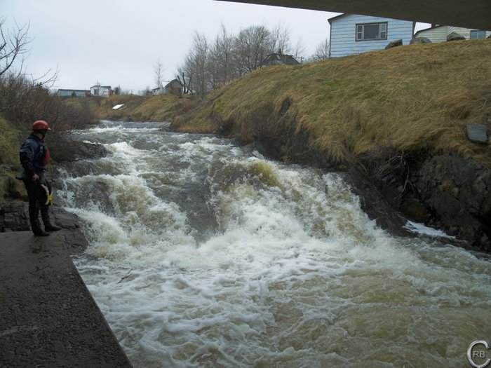
- At Big Falls on the Northwest River many paddlers use the salmon ladder as a sneak route around the main falls. The channel is not particularly difficult, but the final corner does have some hidden dangers. It is not uncommon for people to pin on the downstream side of the corner. It has never resulted in a serious incident, but from personal experience I know that it is difficult to self-rescue from the pin. This is a good spot to set safety for all members of the party, including the final paddler down the rapid.